
Grapevine and Tehachapi Pass Road Conditions
One of the two passes has a closure posted by Caltrans right now, so read both live verdicts above before you start the drive.
Grapevine cameras, in driving order
Full camera strip LIVE
 LIVE
 LIVE
 LIVE
 LIVE
 LIVE
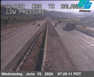
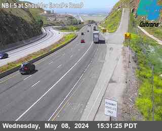
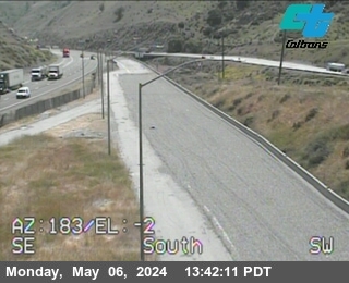
Official Caltrans CCTV stills. There is no camera at the Tejon Pass summit itself; Gorman and Lebec bracket it, and this site says so rather than dressing up a borrowed frame.
Tehachapi cameras, in driving order
Full camera strip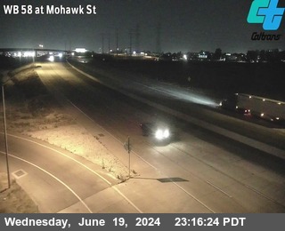 LIVE
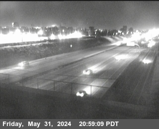 LIVE
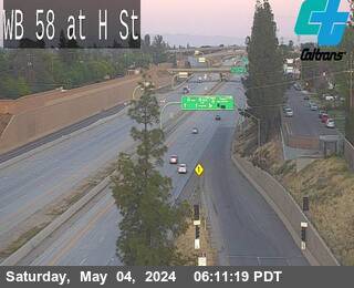 LIVE
 LIVE
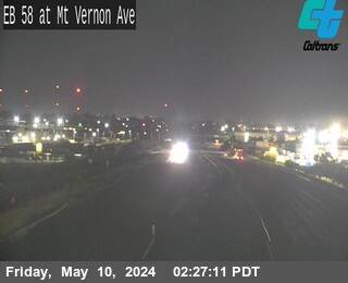 LIVE
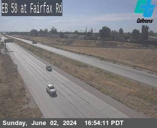 LIVE
Official Caltrans CCTV stills. On SR-58 the cameras cover Bakersfield and Kramer Junction; the mountain segment in between has none, and this site says so rather than dressing up a borrowed frame.
Pass Conditions
Road conditions right now
All closures- FULL CLOSURENorth I-5 near Lebec Roadway Excavation, All of 4 lanes closed
- FULL CLOSURENorth I-5 near Lebec Roadway Excavation, All of 4 lanes closed
- FULL CLOSURENorth I-5 near Lebec Roadway Excavation, All of 4 lanes closed
- FULL CLOSURENorth I-5 near Lebec Roadway Excavation, All of 4 lanes closed
- LANE CLOSUREEast SR-58 near Bakersfield Electrical Work, 3, RShoulder of 3 lanes closed
The Grapevine drive: I-5 north out of Los Angeles, up the grade over Tejon Pass at 4,144 feet, and down into the San Joaquin Valley to the Route 99 split and Bakersfield. One live verdict covers the mountain, and this page puts it on one screen with the cameras in driving order.
SR-58 the whole way: east out of Bakersfield, up through Edison and Keene, over Tehachapi Pass at 3,793 feet, down to Mojave, and across 60 miles of open desert to the I-15 and I-40 junction at Barstow. One live verdict covers the mountain and the desert run together.
The Tehachapi crossing on its own: SR-58 east from Bakersfield, up the canyon past the Loop, over the 3,793 foot summit, and down to the SR-14 junction at Mojave. The Antelope Valley commute, the wind farm run, and half of every Grapevine detour.
The long way, on purpose: I-5 over the Grapevine to Bakersfield, then SR-58 over Tehachapi Pass to Barstow. On a clear day I-15 over Cajon Pass is faster and this page will not argue. This route earns its keep on the days Cajon is closed, when it is the only way through, and both live verdicts are on this page because the decision needs both.
Town weather on both corridors
Altitude is the weather story on both passes. Santa Clarita at 1,207 feet and Gorman at 3,819 feet can be in different storms on the same afternoon, and Barstow's desert wind decides the east end of SR-58. Every town page carries its own live National Weather Service forecast.
California chain control, in plain language
Caltrans posts three levels. R1: chains, traction devices or snow tires required. R2: chains or four wheel drive with snow tires. R3: chains on every vehicle, no exceptions. The Grapevine posts them at fixed checkpoints near the county line and Grapevine; SR-58 posts them for the mountain segment as conditions require. The verdicts above always show the current level the moment the state publishes it.
Chain control levels explainedQuestions drivers ask
Is the Grapevine open right now?
The verdict at the top of this page reads live from Caltrans: active full closures on I-5 close the answer, chain postings qualify it. If it says open, Caltrans has no closure or chain control posted on the corridor at this moment.
Is Tehachapi Pass open right now?
Same live reading, for SR-58: closures in the Caltrans feed close the answer, and wind and chain postings qualify it. Tehachapi's most common restriction is wind on high profile vehicles, not snow.
What is the detour when the Grapevine closes?
SR-14 from Santa Clarita to Mojave, then SR-58 west over Tehachapi Pass to Bakersfield, adding about 90 minutes to two hours. Check the Tehachapi verdict first; a regional storm can post both passes, which is why both live verdicts sit on this page.
Do I need chains on I-5 or SR-58 today?
Only when Caltrans posts chain control, shown in the verdicts above in the state's own R1, R2 and R3 levels. The chain page explains what each level requires of your vehicle and tires.