
Los Angeles to Barstow via the Grapevine and SR-58
The long way, on purpose: I-5 over the Grapevine to Bakersfield, then SR-58 over Tehachapi Pass to Barstow. On a clear day I-15 over Cajon Pass is faster and this page will not argue. This route earns its keep on the days Cajon is closed, when it is the only way through, and both live verdicts are on this page because the decision needs both.
The Grapevine is closed in both directions right now near Lebec for roadway excavation, according to Caltrans. Do not start the drive; read the closures list below and check QuickMap before you go. It is 48 degrees at Tejon Pass.
Last updated at: 12:39 AM Pacific · Caltrans
Tehachapi Pass is open. It is 50 degrees at Tehachapi Pass. 1 lane closure is active on the corridor, listed below.
Last updated at: 12:39 AM Pacific · Caltrans
Cameras along this drive
 LIVE
 LIVE
 LIVE
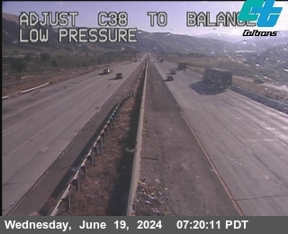 LIVE
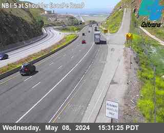 LIVE
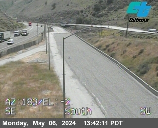 LIVE
The drive, segment by segment
1. Leg one: the Grapevine
Los Angeles to Bakersfield over Tejon Pass, 113 miles. The Grapevine verdict decides whether this route exists at all today; if the Grapevine is closed too, the region is telling you to stay home, and the side by side comparison page shows both passes at once.
2. Across Bakersfield
The two corridors meet in Bakersfield: SR-99 and I-5 from the south, SR-58 east from the same streets. It is the natural fuel and food midpoint, and the last city services before the Tehachapi climb.
3. Leg two: Tehachapi
Bakersfield to Mojave over the 3,793 foot summit, through the wind corridor. A storm day that closed Cajon often has weather here too, usually wind rather than snow, and the Tehachapi verdict on this page carries the postings.
4. Leg three: the desert run
Mojave to Barstow, 60 miles of open desert past Boron and Kramer Junction. After two passes this leg feels flat and easy, which is when fatigue does its work. It is also the leg with no services but Boron.
5. Arriving Barstow
You arrive at the same junction the I-15 driver reaches, about an hour later on a clear day and hours earlier on a Cajon closure day. From here Las Vegas is 160 miles north on a freeway you have just spent all day avoiding, which is the honest shape of detour driving.
Questions drivers ask
When is this route better than I-15?
When Cajon Pass is closed or crawling. On a clear day I-15 is roughly an hour faster. This page exists for closure days, holiday gridlock on I-15, and drivers already in the valley who need Barstow without the basin.
Can both passes be closed at once?
Yes, in a regional storm, and it happens. Both verdicts are printed on this page so that answer takes one look, and the comparison page keeps the running record of both.