Bakersfield to Barstow
SR-58 the whole way: east out of Bakersfield, up through Edison and Keene, over Tehachapi Pass at 3,793 feet, down to Mojave, and across 60 miles of open desert to the I-15 and I-40 junction at Barstow. One live verdict covers the mountain and the desert run together.
Tehachapi Pass is open. It is 50 degrees at Tehachapi Pass. 1 lane closure is active on the corridor, listed below.
Last updated at: 12:38 AM Pacific · Caltrans
Cameras along this drive
 LIVE
 LIVE
 LIVE
 LIVE
 LIVE
 LIVE
The drive, segment by segment
1. Out of Bakersfield
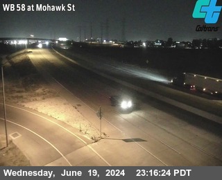
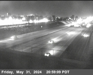
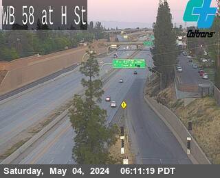
SR-58 crosses Bakersfield as a freeway, and six of the corridor's cameras watch the city stretch. The drive's real decision comes at Edison, where the Towerline Road frame marks the foot of the climb: valley behind, mountain ahead, and the verdict's wind and closure picture in front of you.
2. Edison, Keene, and the Loop
The climb winds up the canyon beside the railroad, past Keene and the Tehachapi Loop, where freight trains spiral over themselves to gain the same height you are driving. There are no cameras on this stretch. The town forecast for Tehachapi, linked on this site, is the best proxy for what the climb is doing.
3. Tehachapi and the summit
The town at 3,970 feet is the corridor's pause point and weather station in one. East of town the road crests at 3,793 feet inside the wind farm country, the most wind exposed miles on the route. High profile restrictions post here first, and the message signs mirrored on this page carry them.
4. Down to Mojave
The descent to Mojave drops into the desert and the SR-14 junction. This is the crossroads of every detour in the region: SR-14 south starts the Grapevine loop back to Los Angeles. On a Grapevine closure day, expect this junction to be running heavy with diverted traffic.
5. The desert run
Mojave to Barstow is 60 miles of open Mojave: Boron and its borax mine at the halfway mark, the US-395 junction at Kramer Junction with the corridor's last two cameras, and long dark stretches between. Wind and fatigue are the hazards here, not weather on the road, and services are Boron or nothing.
6. Into Barstow
SR-58 ends at the great junction: I-15 north to Las Vegas, I-15 south over Cajon Pass to Los Angeles, I-40 east to Arizona. If your trip continues, the choice at Barstow deserves the same live check this page gave the mountain, on the corridor you are joining.
Questions drivers ask
How long is Bakersfield to Barstow?
About 2 hours in free flow for the 135 miles of SR-58. Wind holds at the pass and incidents on the desert run are the usual delay sources; the live verdict and closures list show both.
Is SR-58 a good Las Vegas route from Bakersfield?
It is the standard one: SR-58 to Barstow, then I-15 north, about 285 miles total. It avoids Los Angeles entirely, which is the point, and its one mountain is Tehachapi rather than Cajon.
Where is fuel on this drive?
Bakersfield, Tehachapi, Mojave, Boron, and Barstow. The Mojave to Barstow leg has Boron only; plan the tank around it.